 |

|

|
| Trip Planning | History of Point Reyes | Overviews & Photos |
|
Trip Planning |

Virginia and I wanted to do a road trip again and perhaps go to Point Reyes north of San Francisco as there is so much to see and do.
Plus her sister lives there and has a Bread and Breakfast inn and we hopefully could stay there.
One reason we have had a crimp on our travels is due to the COVID-19 stopping us from our world travels! Time will tell!
The photo on the left was taken on our trip in May 0f 2019, coming back from Scotland on a Transatlantic Crossing on the Queen Mary II from Southampton to New York City.
The photo on the right was taken on our trip on February 04th 2020, for my 80th Birthday on the Celebrity Constellation cruising from Dubai to Oman, on to India and Sri Lanks!
We had to turn back to Dubai due to the corona-virus in Thailand and Singapore. We each got $150.00 to spend as we wished on the four day cruise back to Dubai, plus we stayed at a Four Star Hotel over looking Dubai for a day before our new flight took place on KML Dutch Royal Airlines to Amsterdam and on the the City!
| Over View of Point Reyes |
Very Interesting Geology: I was reading about the geology of Point Reyes and I thought it was important to let you know how earth quakes affect the coast lines of the circle of fire around the entire Pacific Ocean!The entire Point Reyes Peninsula is a piece of the Salinian Block transported northward by the San Andreas Fault. Its core is granite, unlike the terrain east of Tomales Bay. The granite rocks that form the peninsula were once continuous with the Tehachapi Mountains 350 miles south. In the 1906 earthquake, Point Reyes moved north 21 feet.
Point Reyes Peninsula
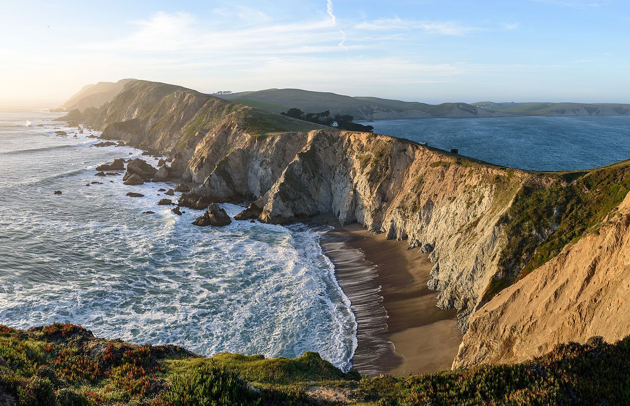
Point Reyes is a prominent cape and popular Northern California tourist destination on the Pacific coast. It is located in Marin County approximately 30 miles (50 km) west-northwest of San Francisco. The term is often applied to the Point Reyes Peninsula, the region bounded by Tomales Bay on the northeast and Bolinas Lagoon on the southeast. The headland is protected as part of Point Reyes National Seashore.

Overview
The cape protects Drakes Bay on its southern side. The headland is largely drained by Drakes Estero. Drakes Bay and Drake's Estero are named after English seafarer Sir Francis Drake who possibly hauled his ship, the Golden Hinde, up onto the beach for repairs in June 1579. Inverness Ridge runs along the peninsula's northwest-southeast spine, with forested peaks around 430 meters (1,400 ft). West of the ridge, the land flattens out and the vegetation turns to scrub. The Mount Vision fire in 1995 burned part of Inverness Ridge.
Point Reyes lends its name to the town of Point Reyes Station.
The point may once have been known as Lobes Lighthouse by the sailors of clipper ships on the meat trade. (Lobes are ridges of slide material commonly referred to in the literature from erosion events and the point is of that shape out to sea).
| Over View of Point Reyes Station - a Small Unincorporated Town |
Geography:Point Reyes Station (formerly, Marin and Olema Station) is a small unincorporated town located in western Marin County, California. Point Reyes Station is located 13 miles (21 km) south-southeast of Tomales, at an elevation of 39 feet (12 m). Point Reyes Station is located along State Route 1 and is a gateway to the Point Reyes National Seashore, an extremely popular national preserve. About 350 people live in the town. It is also the name of a census-designated place (CDP) in northern California covering the unincorporated town and surrounding countryside, with a total CDP population of 848.
Point Reyes Station is located at 38 degrees, 04'09 N - 122 degrees 48"25 W, just south and east of the southern end of Tomales Bay, and slightly east of the San Andreas Fault just before the fault submerges down the center of Tomales Bay.
Formerly an actual port and railway terminus, Point Reyes Station, CA nominally borders Tomales Bay; the introduction of European cattle and planting of European grass seed on the natural hills caused destructive erosion and a combination of small dirt dams, silting, and intentional landfill for farming raised the level of former salt marshes and has left Point Reyes Station approximately 0.8-mile (1.3 km) from the nearest tidal flats, and that after expenditure of millions of dollars and recent efforts for reclamation of the natural environment.
The CDP has a total area of 3.62 sq mi (9.4 km2), all land.
History:
Once land of the Coast Miwok Indians, Point Reyes Station gets its name from the nearby Point Reyes Peninsula (a major peninsula sticking out into the Pacific Ocean) and its status as a terminus stop on the North Pacific Coast Railroad connecting Cazadero to the Sausalito ferry.
Point Reyes Station is very close to the San Andreas Fault, which was responsible for the 1906 San Francisco earthquake. At one time, the epicenter of the quake was thought to be near Olema. A walking tour of the fault can be taken from the Point Reyes National Seashore's Visitor Center.
The place was called Olema Station when the railroad arrived in 1875. The Point Reyes post office opened in 1882, changed its name to Marin in 1891, changed it back to Point Reyes later in 1891, and changed it to Point Reyes Station later in 1891.
Economy:
A number of agricultural companies, many using organic and sustainable practices, are located there, including Cowgirl Creamery and Point Reyes Farmstead Cheese Company. Marin Organic operates out of the city.
|
Day 01 | Driving from San Francisco to Point Reyes Station - Black Heron Inn |
View of San Francisco from Chuck's Apartment as We Left on Our Road Trip!
Black Heron Inn 51 Cypress Road
Mail to P.O. BOX 687
Point Reyes Station
California 94965
415-663-8846
stay@blackheroninn.com
Note: The Black Heron Inn provides each room with tea breads, fruit, cereal, yogurt, orange juice, milk, coffee and tea before guests arrive. They may have breakfast in their room any time they want.
Mamie and Bill love to cook. Mamie cooks and bakes. Bill had a large outdoor grill! Mamie made us chicken with vegetables and couscous. A salad with greens and dried cherries! And for desert a blue berry pie and vanilla ice cream! Bill grilled a huge salmon with butter, lemon juice and pepper corns. He also grilled me a hamburger plus Virginia and I had a bottle of wine! We also had a brunch of scrambled eggs with mushrooms and bacon and sour dough bread on our last morning plus a bowl of fresh strawberries and black berries! Fantastic food from very nice hosts!
|
Day 02 | Point Reyes Station |
 |
 |
 |
 |
 |
 |
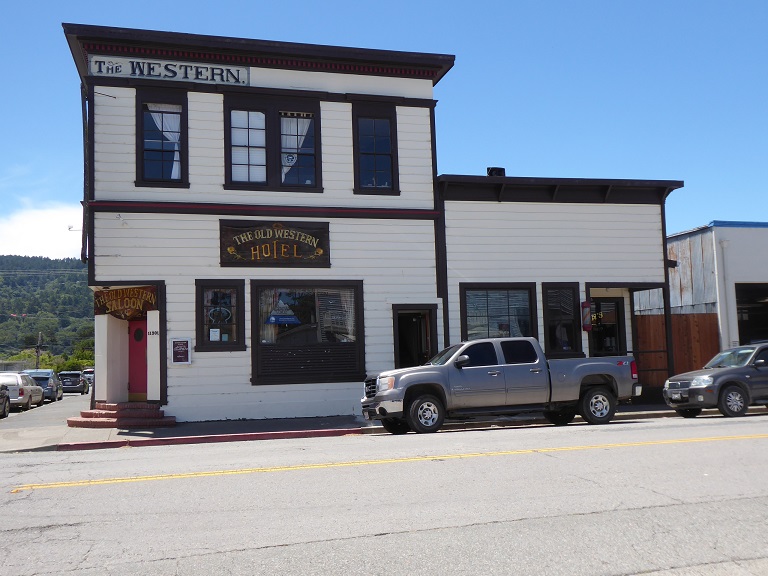
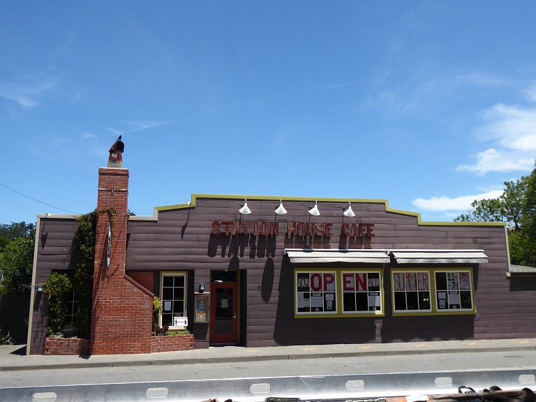
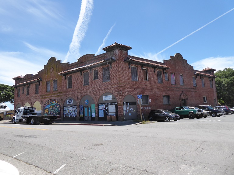
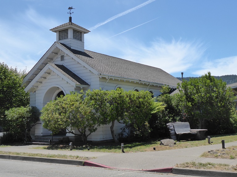
So many old buildings and the one on the top right, a famous restaurant like most places now, the new owners decided they wanted to change the rental agreement from $8,000.00 a month to $21,000.00 a month. I wonder how anyone can afford that kind of rent, especially when the season is usually just over the summer? There is so much fresh produce as you can see in the bottom photos of the general store!
|
Day 02 | San Andreas Fault Line! |
 |
 |
 |
 |
 |
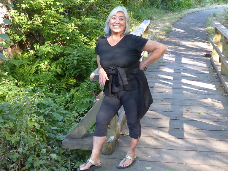 |
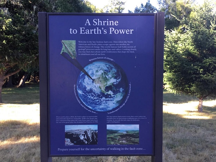
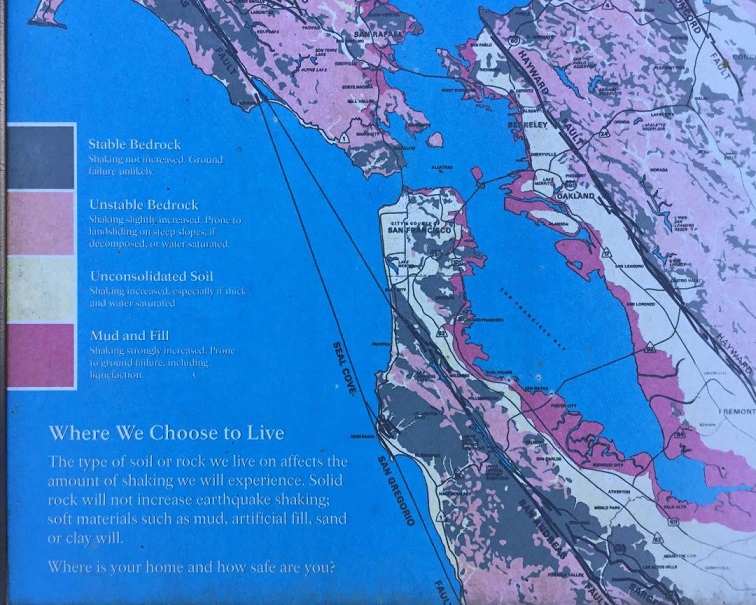
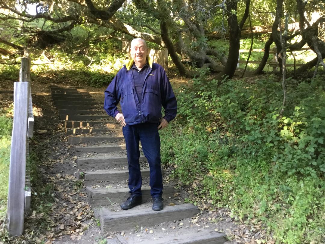
At 5:13 am on April 18, 1906 the San Andreas fault slipped, creating an earthquake that famously set San Francisco ablaze.
The Richter scale had not yet been invented at the time of the quake, but more recent estimates put it at a 7.9 or 8.0. The earth literally rifted apart for 300 miles from San Juan Bautista to Mendocino, California, and though the epicenter had been near the Bay, tremors were felt as far north as Coos Bay, Oregon. In response to the widespread destruction, teams of scientists explored California's geography in search of its cause.
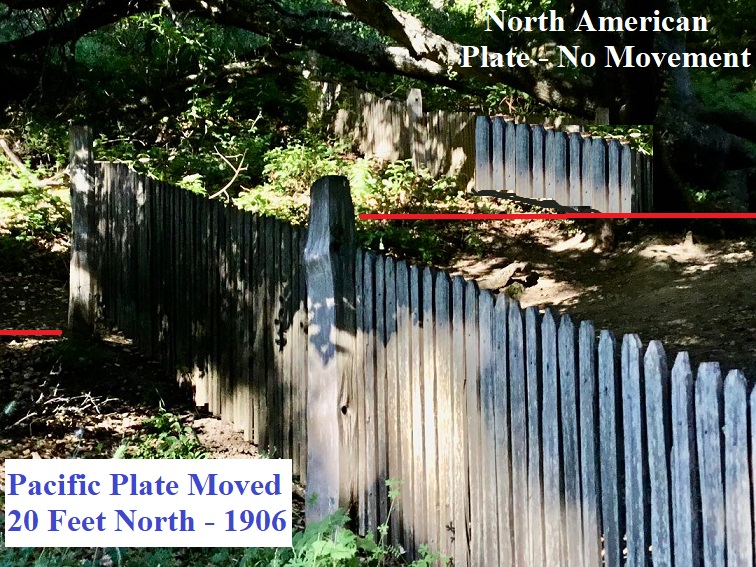
These geologists found some of the most prominent evidence from the quake in the area now known as Point Reyes National Seashore. Directly beneath this coastline runs the San Andreas Fault. The scientists who scoured this area found that the west side of the crack left in the earth was feet higher than that of the right, and had shifted dramatically to the northwest.
Contemporary visitors to the park can walk the half-mile "Earthquake Trail" from the Bear Valley Visitor Center to the famous Earthquake Fence. While it may seem like a drunkard originally plotted the fence, prior to the quake it had actually been one continuous stretch of pickets. Along the hike, you cross the epicenter of the quake. Today, there is a 20-foot gap between two sections, separated in the blink of an eye when 270 miles of the Pacific Tectonic Plate slid northwest.
|
Day 02 | Inverness Park! |
 |
 |
 |
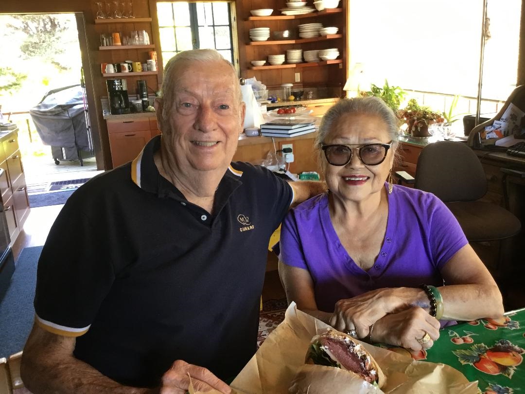 |
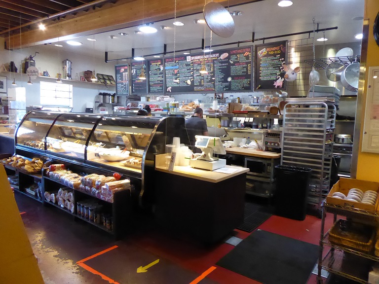
We drove along Sir Francis Drake Blvd. on the way to the Pt. Reyes Lighthouse. We drove through Inverness and Inverness Park but when we got half way to the Lighthouse, the road was closed due to redoing the bridges and road ways. We stopped at Inverness Park at the very nice market and bought great sandwiches to eat when we got home!
|
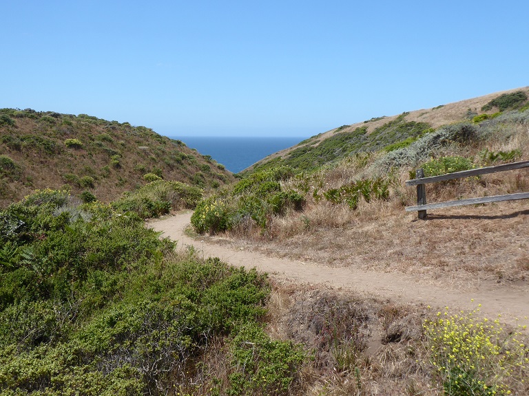
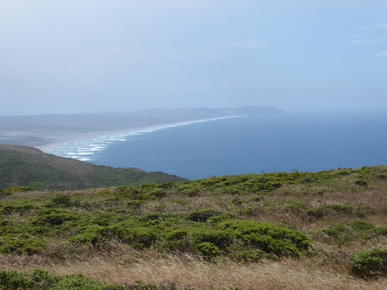
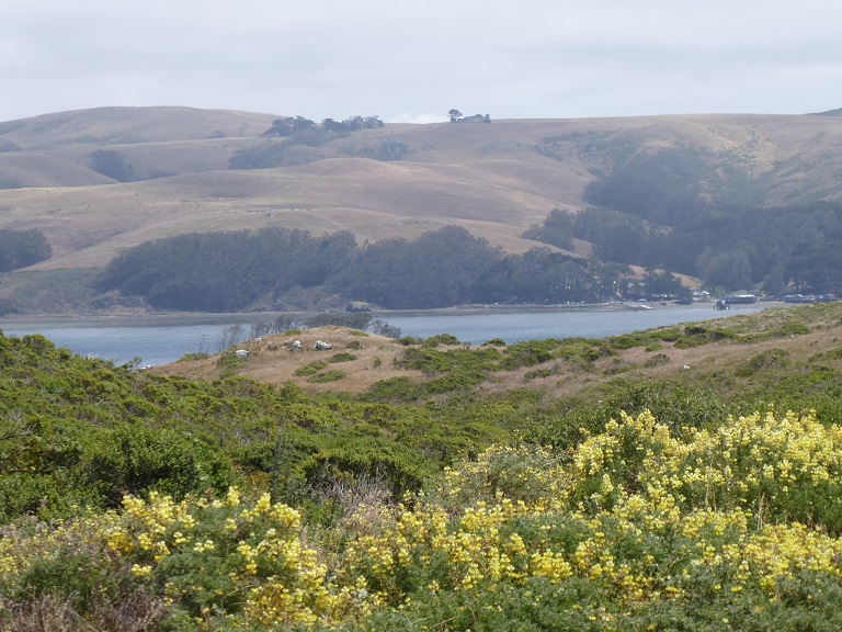
Day 03 | McClures Beach - Northern Tip of Point Reyes National Seashore |
 |
 |
 |
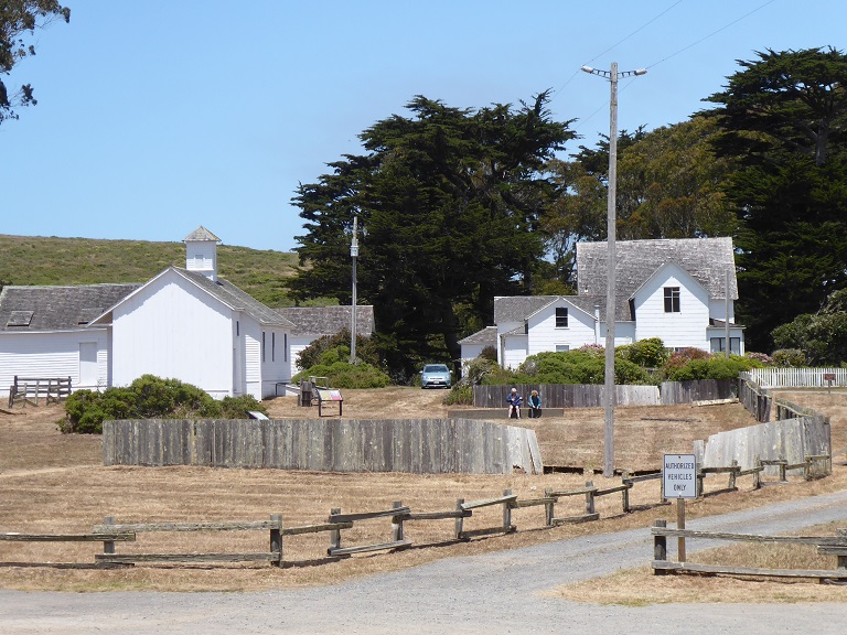 |
This is the end of the road at the tip of Point Reyes National Seashore. All along the road are farms with many milk cows and beef cattle. Great views and hiking trails for all ages. We were lucky, in the morning it was so foggy it was actually sprinkling but by noon the sun was out, a perfect day without too much wind!
The historic Pierce Point Ranch offers a glimpse into the early dairy ranching days on the peninsula.
|
Day 03 | Tule Elk |
 |
 |
 |
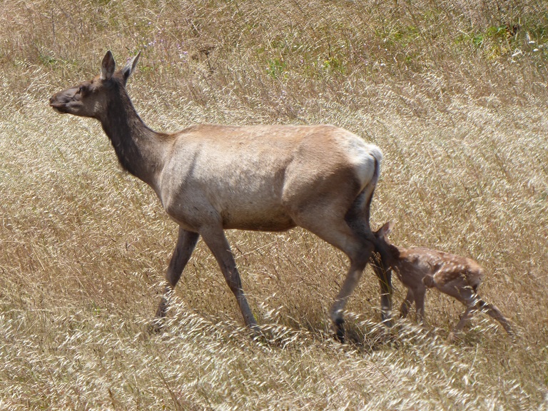 |
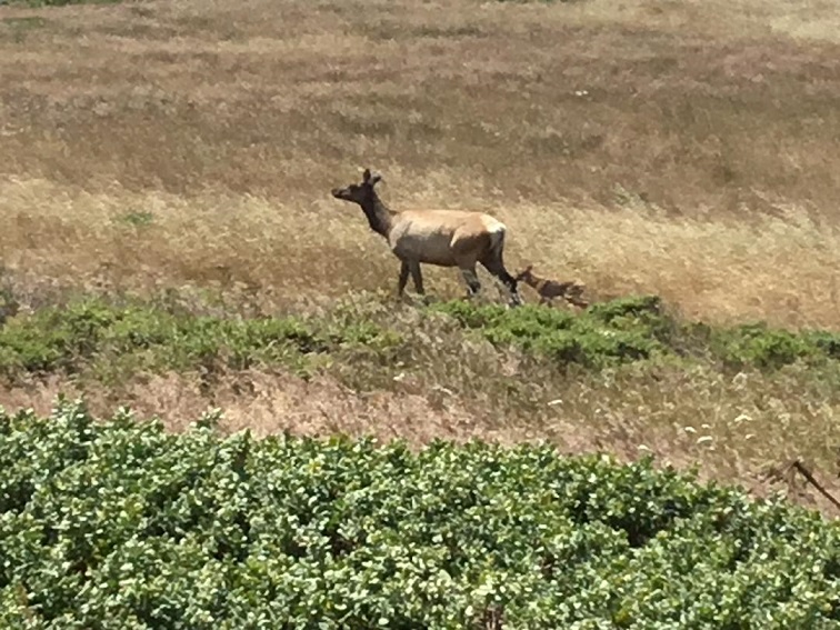
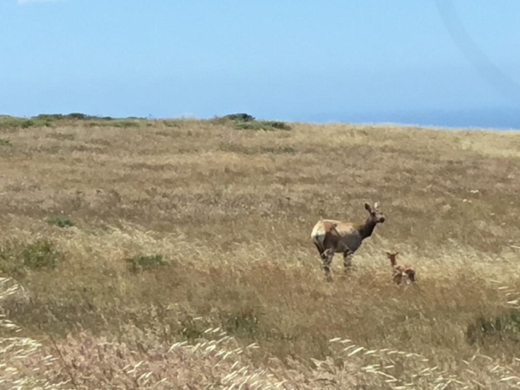
Tomales Point (aka Pierce Point) is located at the northern end of Point Reyes National Seashore. The Tomales Point area is a popular destination for visitors wishing to view tule elk, birds, and wildflowers.
Bill said the elk might be at the top of the hill before we went down to the parking lot and the farm house and hiking trails. We got to the top of the hill and saw one elk running away in the distance. So much for elk. When we came back I stopped and Virginia was trying to take a photo of a herd of elk and asked why was I stopping and looking straight ahead. I said, "Look, a mother elk and baby!". We got to see a big herd napping in the grass and the mother and baby, a great way to end the day before we drove back home to San Francisco!
|
Day 03 | View of San Francisco from the Marin Headlands |
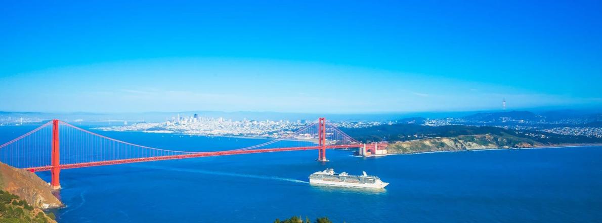 |
View of San Francisco from the Marin Headlands as We Drove Back to the City!
| Created on: 2020.04.13 |
|  |
Updated on: 2020.06.14 |