Photo Page 07
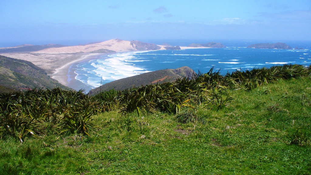
Cape Reinga - Tasman Sea
Cape Reinga (Te
Reinga or Te Rerenga Wairua in Māori) is the northwestern
most tip of the Aupouri Peninsula, at the northern end of the North
Island of New Zealand. Cape Reinga is located over 100 km north of
the nearest small town of Kaitaia. State Highway 1 extends all the
way to the Cape, but until 2010 was unsealed gravel road for the
last 19km. Suitable vehicles can also travel much of the way via
Ninety Mile Beach and Te Paki stream bed. We were going to try
and drive the 90 miles of beach but was told by some travelers that
their bus almost got caught in the incoming tide with no where to
go. We decided it wasn't worth trying to beat the high tide of
the Tasman Sea!
The name of the cape comes from the Māori word 'Reinga',
meaning the 'Underworld'. Another Māori name is 'Te Rerenga
Wairua', meaning the leaping-off place of spirits. Both refer
to the Māori belief that the cape is the point where the spirits of
the dead enter the underworld.
The
Tasman Sea is a southwesterly marginal sea of the South Pacific
Ocean between Australia and New Zealand, approximately 2,000
kilometres (1,200 mi) across. It extends 2,800 km (approx.) from
north to south. The sea was named after the Dutch explorer Abel
Janszoom Tasman, the first recorded European to encounter New
Zealand and Tasmania. The British explorer Captain James Cook later
extensively navigated the Tasman Sea in the 1770s as part of his
first voyage of exploration.
The Tasman Sea is commonly referred to in both
Australia and New Zealand as The Ditch; for example,
crossing the ditch means going to Australia from New Zealand or
vice versa. In Māori, the Tasman Sea is called Te Tai-o-Rehua.

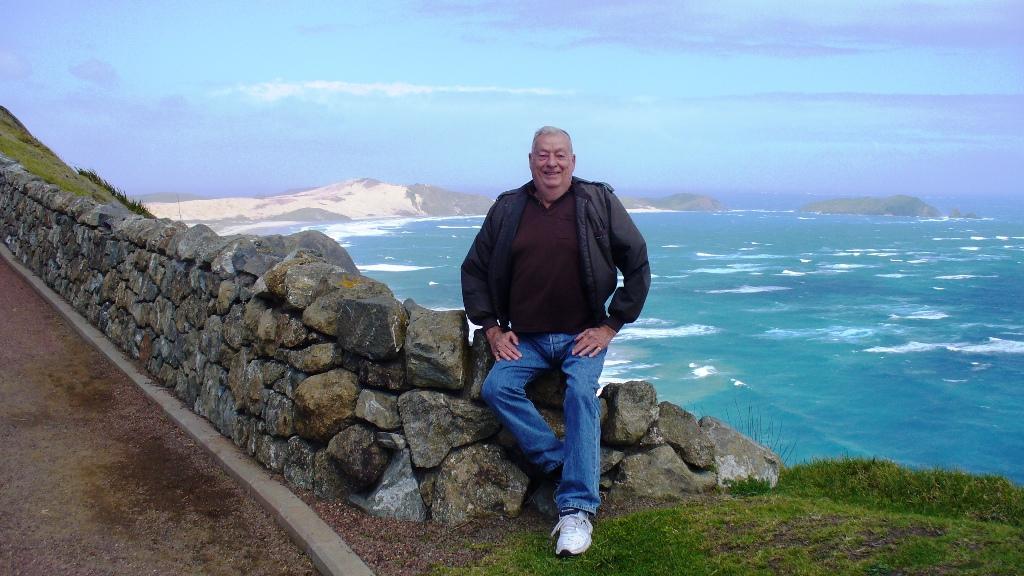
Here I am overlooking another sea, the Tasman Sea!

The winds almost blew one over!

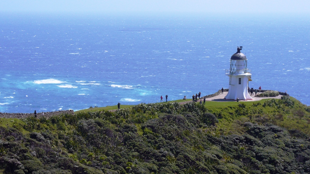
The lighthouse at the tip of northern New Zealand.
Created by Chuck Buntjer
Published on: 2013.10.10
San Francisco
Revised on: 2013.20.10