Virginia asked me if I would drive her car to Boise Idaho and attend their family reunion over the Fouth of July! 
I have driven many times on trips for her and enjoy driving as I rarely do it anymore.
We talked about perhaps, going on after the reunion to Glacier National Park. It is a long ways north to almost the border of Canada and Montana, but when would I ever be there again?
We will drive halfway to Boise and stay at a hotel and then on to Boise. Hopefully we can drive to Glacier National Park as the last half of our trip!
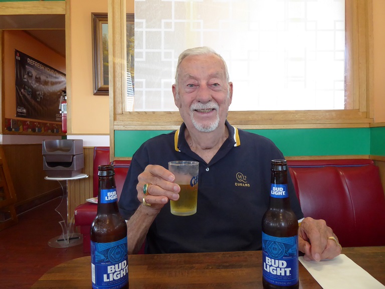
Here we are after our last trip in May, going on a Transatlantic Crossing on the Queen Mary II from Southampton to New York City.
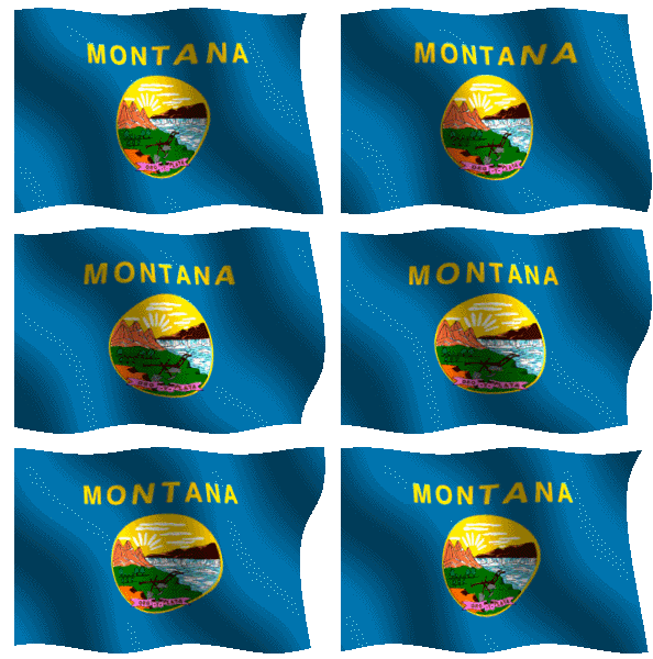
Montana is a state in the Northwestern United States. Montana has several nicknames, although none are official, including "Big Sky Country" and "The Treasure State", and slogans that include "Land of the Shining Mountains" and more recently "The Last Best Place".
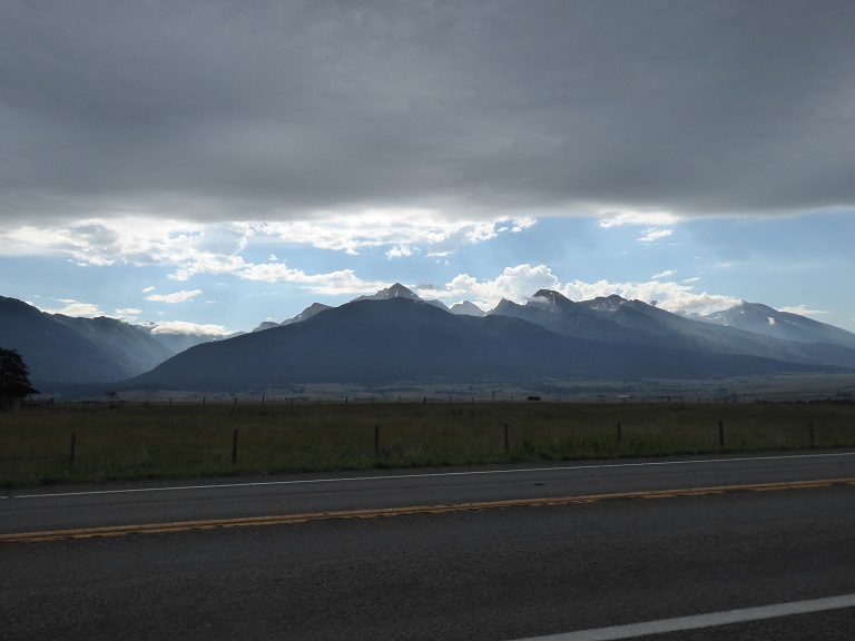
 Montana is the 4th largest in area, the 8th least populous, and the 3rd least densely populated of the 50 U.S. states. The western half of Montana contains numerous mountain ranges. Smaller island ranges are found throughout the state. In all, 77 named ranges are part of the Rocky Mountains. The eastern half of Montana is characterized by western prairie terrain and badlands. Montana is bordered by Idaho to the west, Wyoming to the south, North Dakota and South Dakota to the east, and the Canadian provinces of British Columbia, Alberta, and Saskatchewan to the north.
The economy is primarily based on agriculture, including ranching and cereal grain farming. Other significant economic resources include oil, gas, coal, hard rock mining, and lumber. The health care, service, and government sectors also are significant to the state's economy.
The state's fastest-growing sector is tourism. Nearly 13 million tourists annually visit Glacier National Park, Yellowstone National Park, the Beartooth Highway, Flathead Lake, Big Sky Resort, and other attractions.
Under Territorial Governor Thomas Meagher, Montanans held a constitutional convention in 1866 in a failed bid for statehood. A second constitutional convention held in Helena in 1884 produced a constitution ratified 3:1 by Montana citizens in November 1884. For political reasons, Congress did not approve Montana statehood until February 1889 and President Grover Cleveland signed an omnibus bill granting statehood to Montana, North Dakota, South Dakota and Washington once the appropriate state constitutions were crafted. In July 1889, Montanans convened their third constitutional convention and produced a constitution accepted by the people and the federal government. On November 8, 1889 President Benjamin Harrison proclaimed Montana the union's forty-first state. The first state governor was Joseph K. Toole. In the 1880s, Helena (the state capital) had more millionaires per capita than any other United States city.
|
My Personal Travel Agent - Setting up trips to Morocco, Portugal, Sicily and many other destinations. A top Travel Consultant.
|
My travel agent always has good suggestions as to what to see and how to accomplish the desired destination with the greatest of ease!
Please contact Viviane Tondeur for help in setting up trips and getting the best deals possible. Check her out!
.......................Read More........................
|
Craters of the Moon
|
Day 1 - July 08th - Craters of the Moon
|
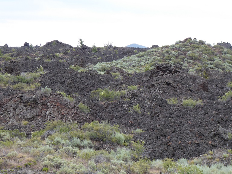
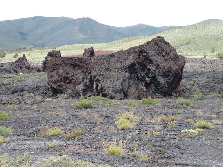
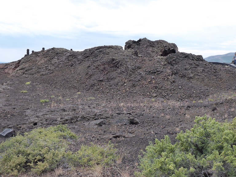
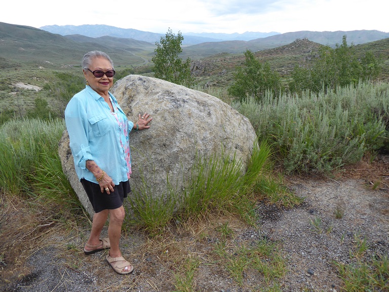
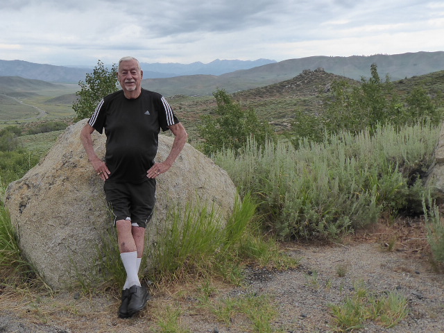
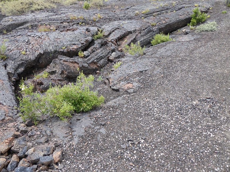
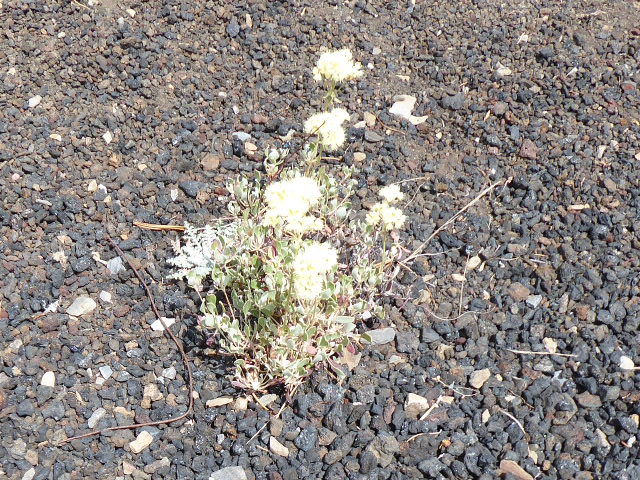
Craters of the Moon National Monument and Preserve is a U.S. National Monument and national preserve in the Snake River Plain in central Idaho. It is along US 20 (concurrent with US 93 and US 26), between the small towns of Arco and Carey, at an average elevation of 5,900 feet (1,800 m) above sea level. The protected area's features are volcanic and represent one of the best-preserved flood basalt areas in the continental United States.
The Monument was established on May 2, 1924. In November 2000, a presidential proclamation by President Clinton greatly expanded the Monument area. The National Park Service portions of the expanded Monument were designated as Craters of the Moon National Preserve in August 2002. It lies in parts of Blaine, Butte, Lincoln, Minidoka, and Power counties. The area is managed cooperatively by the National Park Service and the Bureau of Land Management (BLM).
The Monument and Preserve encompass three major lava fields and about 400 square miles (1,000 km2) of sagebrush steppe grasslands to cover a total area of 1,117 square miles (2,893 km2). The Monument alone covers 53,571 acres (21,679 ha). All three lava fields lie along the Great Rift of Idaho, with some of the best examples of open rift cracks in the world, including the deepest known on Earth at 800 feet (240 m). There are excellent examples of almost every variety of basaltic lava, as well as tree molds (cavities left by lava-incinerated trees), lava tubes (a type of cave), and many other volcanic features

|
|
|
|

|
|
|
|
|
|
Butte Montana
|
Day 1 - July 08th - Butte
|
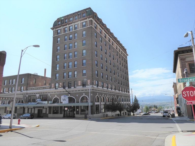
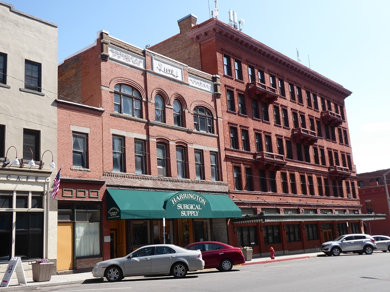
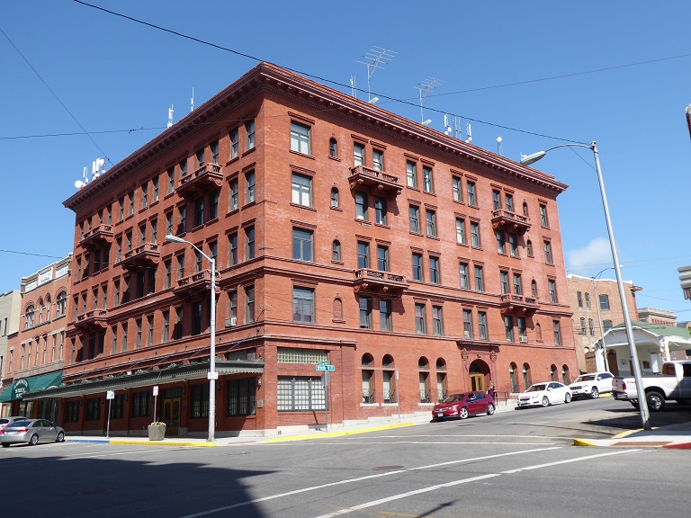
Butte is the county seat of Silver Bow County, Montana, United States. In 1977, the city and county governments consolidated to form the sole entity of Butte-Silver Bow. The city covers 718 square miles (1,860 km2), and, according to the 2010 census, has a population of 33,503, making it Montana's fifth largest city. It is served by Bert Mooney Airport with airport code BTM.
Established in 1864 as a mining camp in the northern Rocky Mountains on the Continental Divide, Butte experienced rapid development in the late-nineteenth century, and was Montana's first major industrial city. In its heyday between the late-nineteenth and early-twentieth centuries, it was one of the largest copper boomtowns in the American West. Employment opportunities in the mines attracted surges of Asian and European immigrants, particularly the Irish; as of 2017, Butte has the largest population of Irish Americans per capita of any city in the United States.
Many of the buildings were erected in 1890.

|
|
|
|
|
Village of Ovando
|
Day 2 - July 09th - Ovando
|
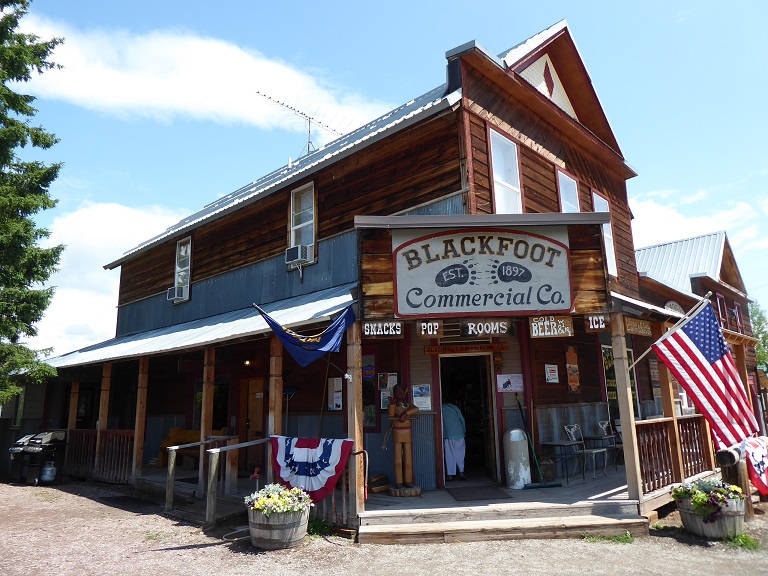
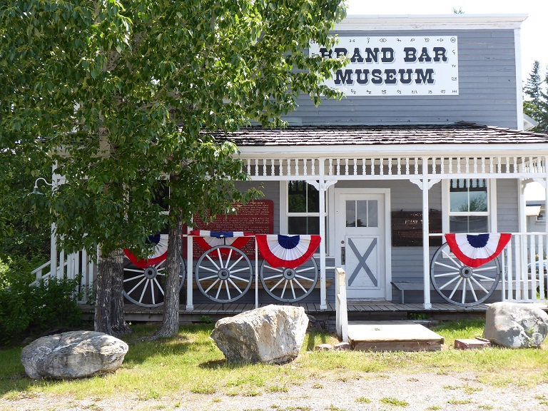
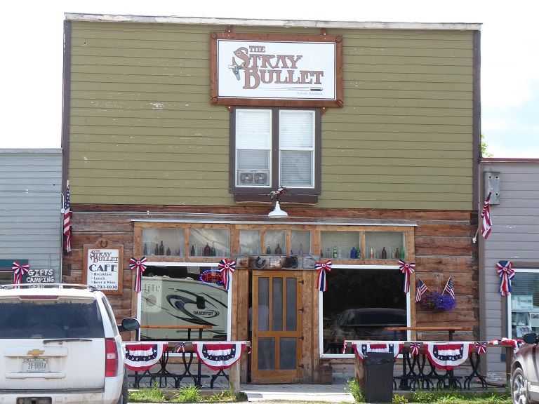
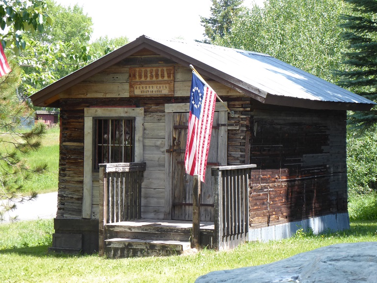
Ovando is a census-designated place (CDP) in Powell County, Montana, United States. It is approximately seventy-four miles northwest of Helena. The population was 71 at the 2000 census.
Gas on Empty!
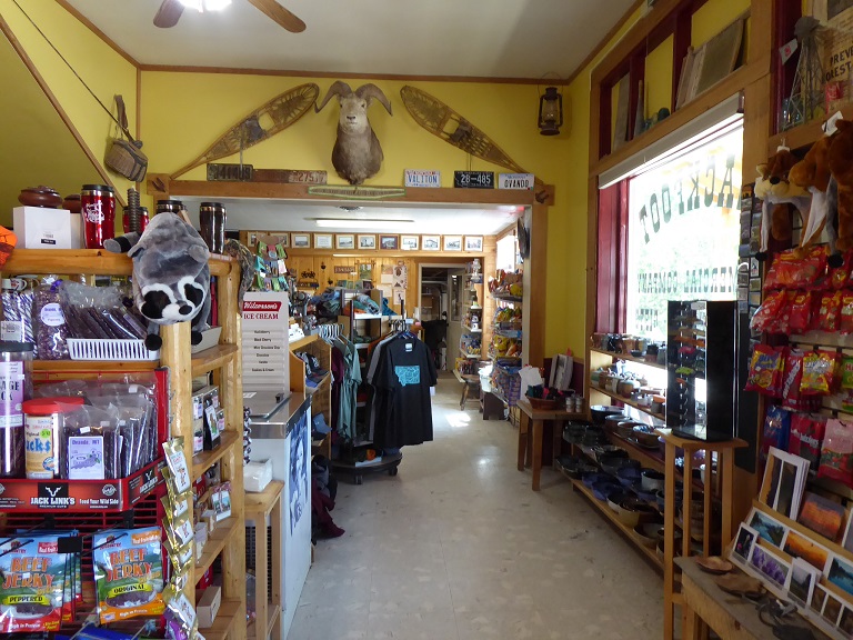
We left Butte Montana and was driving to Kalispell and decided we didn't need to fill up the fuel tank. A big mistake. Virginia kept saying "Keep driving!" She then checked the online dash board and said it indicated there was a gas station a few miles away. I noticed it indicated after displaying a gas station a few miles away it then reset and indicated the next station was 150 miles away. Later Virginia told me she saw it but didn't tell me because there would be trouble. I told her eventually I had seen the display and just prayed.
Eventaully the gas meter indicated empty! We saw a bar and pulled in and the woman owner said we could roll down the hill and there was a store and gas station. We rolled up and the Volt holds eight gallons. I filled the car and it ended up with 7.8 gallons of fuel! What a relief. We never let that happen agian.
|
|
|
|
|
|
|
Glacier Park
|
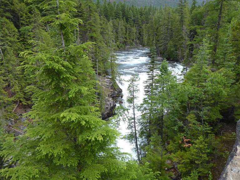
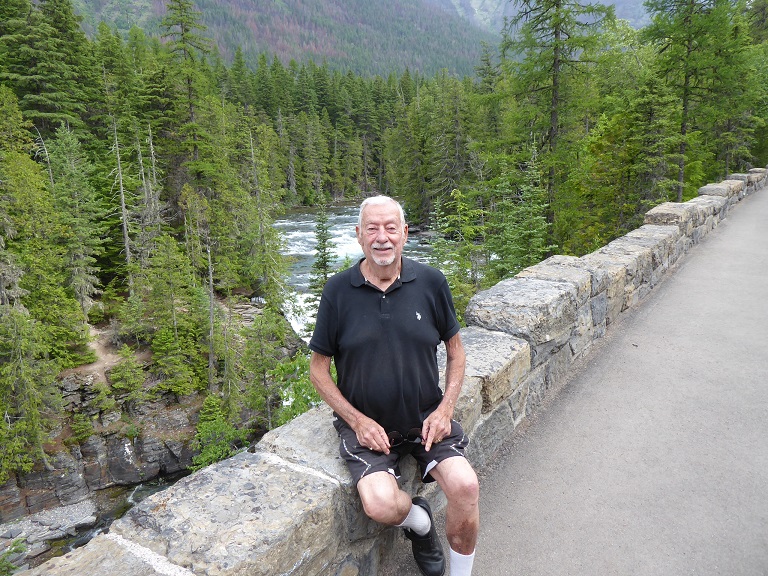
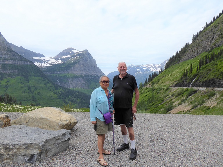
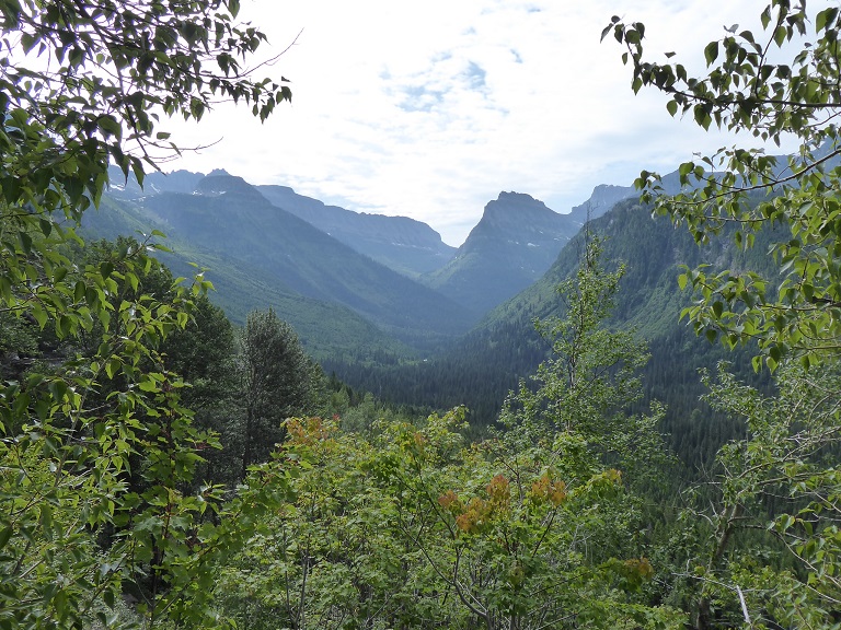
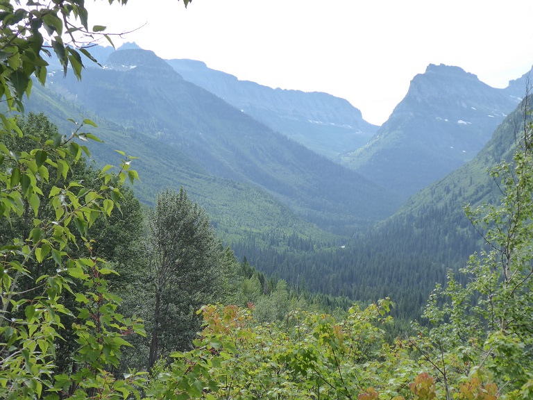
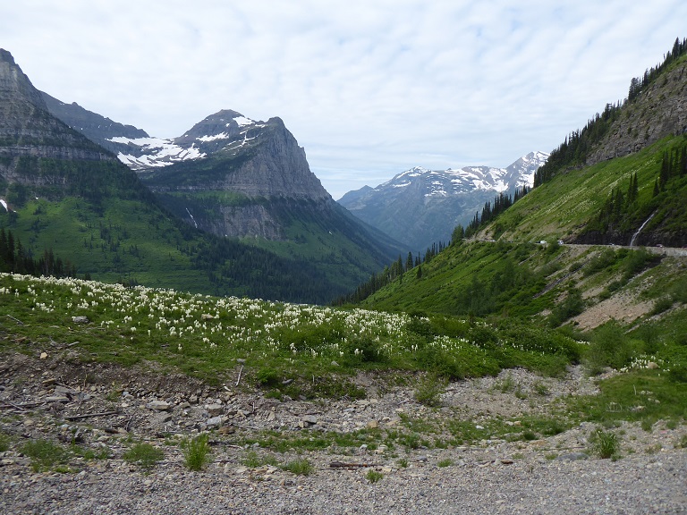
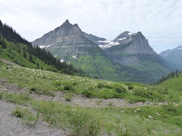
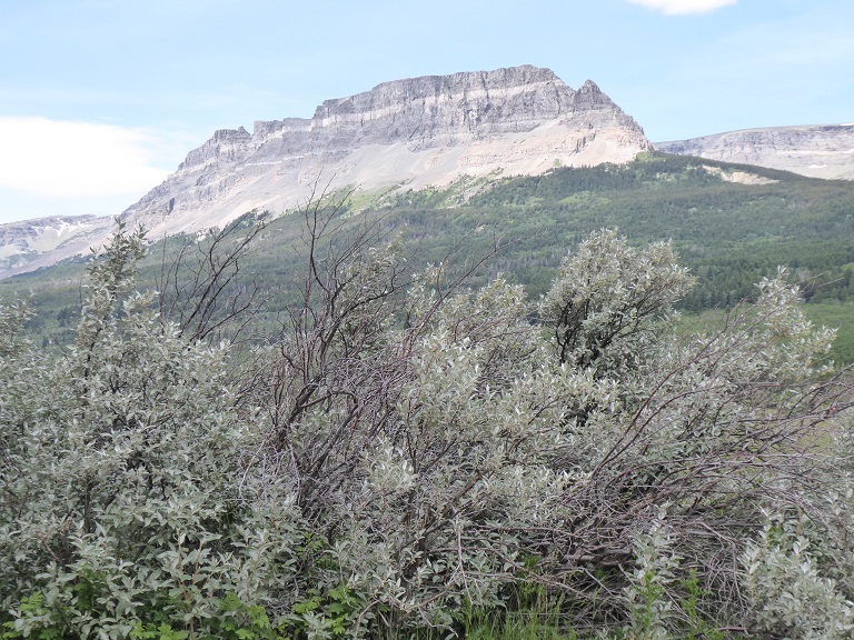
Day 3 - July 10th - Road to the Sun - Glacier National Park
|
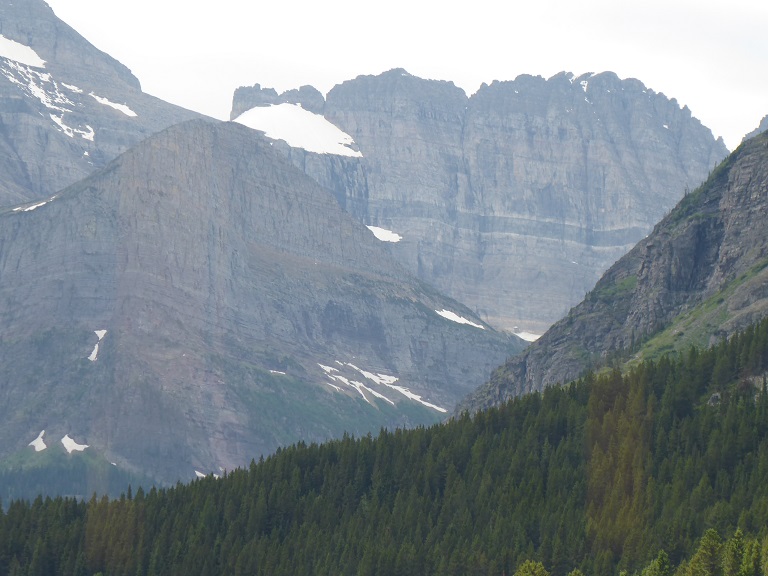
Glacier National Park: It is an American national park located in northwestern Montana, on the Canada–United States border, adjacent to the Canadian provinces of Alberta and British Columbia. The park encompasses over 1 million acres (4,000 km2) and includes parts of two mountain ranges (sub-ranges of the Rocky Mountains), over 130 named lakes, more than 1,000 different species of plants, and hundreds of species of animals. This vast pristine ecosystem is the centerpiece of what has been referred to as the "Crown of the Continent Ecosystem," a region of protected land encompassing 16,000 square miles (41,000 km2).
.......................Read More........................
|
Many Glacier Hotel
|
Day 3 - July 10th - Many Glacier Hotel - Glacier National Park
|
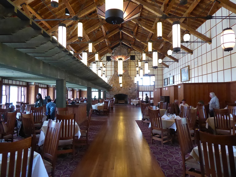
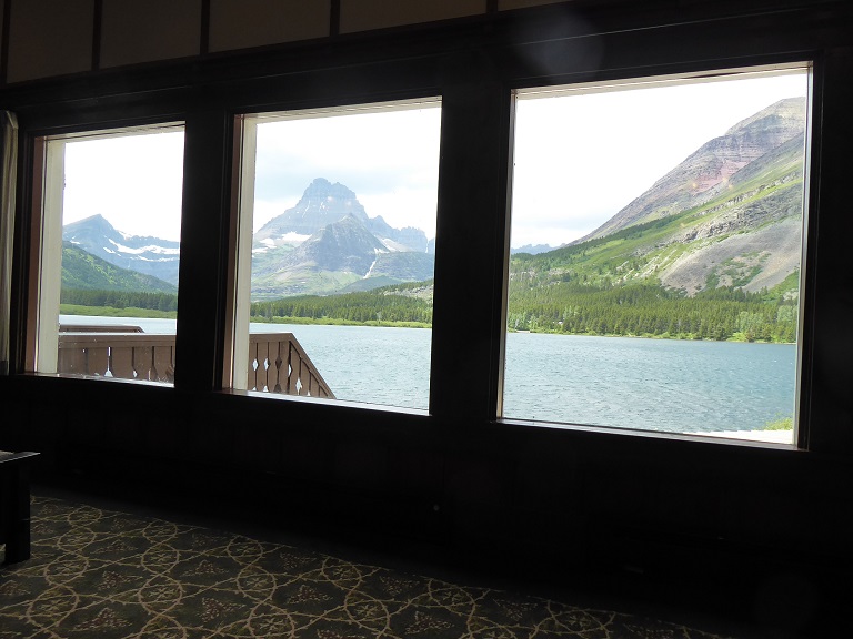
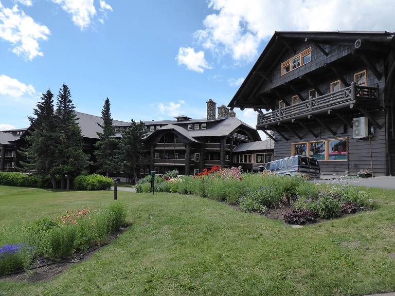
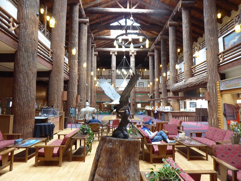
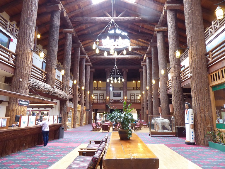
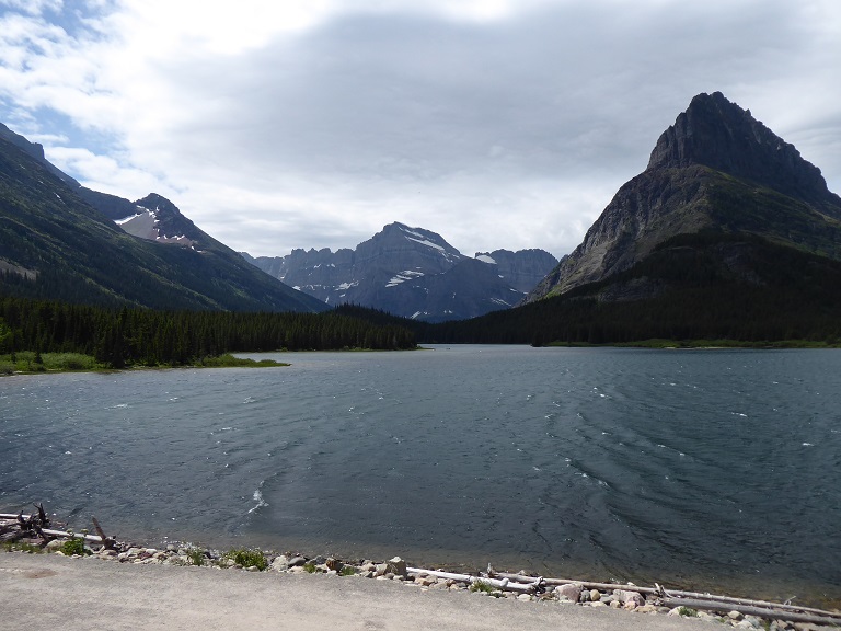
Many Glacier Hotel is a historic hotel located on the east shore of Swiftcurrent Lake in Glacier National Park in the U.S. state of Montana. The building is designed as a series of chalets, up to four stories tall, and stretches for a substantial distance along the lakeshore. The building has a Swiss alpine theme both on the outside and on the inside. The foundation is made of stone, with a wood superstructure. The outside is finished with brown-painted wood siding, and the window framing and balconies have wood sawn in Swiss jigsawn patterns. On the inside, the four-story lobby is surrounded by balconies, whose railings are patterned after Swiss designs.
Construction began at Many Glacier Hotel in 1914 and was finished in just 1 year on July 4, 1915. The Great Northern Railway was establishing a series of hotels and backcountry chalets in the park and the Many Glacier Hotel was the "Gem of the West". This was part of an effort by Louis W. Hill, president of the Great Northern Railway and son of James J. Hill, to establish Glacier National Park as a destination resort and to promote the area as the "American Alps". To this end, Hill chose a Swiss chalet style for the hotels and chalets. The Glacier Park Lodge (previously known as the Glacier Park Hotel) and the Many Glacier Hotel were intended to be the core structures, while the chalets and campgrounds were sited in the backcountry within an easy day's ride or hike from one of the hotels or another chalet. The chalets were intended to entice visitors to leave the hotels and see the backcountry in a more rustic manner. These chalets were especially used during the early 1900s when the Hotel first opened, and the main attraction in the park was horseback riding. In the early days of Many Glacier Hotel only the rich and famous could afford to stay in this beautiful structure and the rustic chalets throughout the area.

|
|
|
|
|
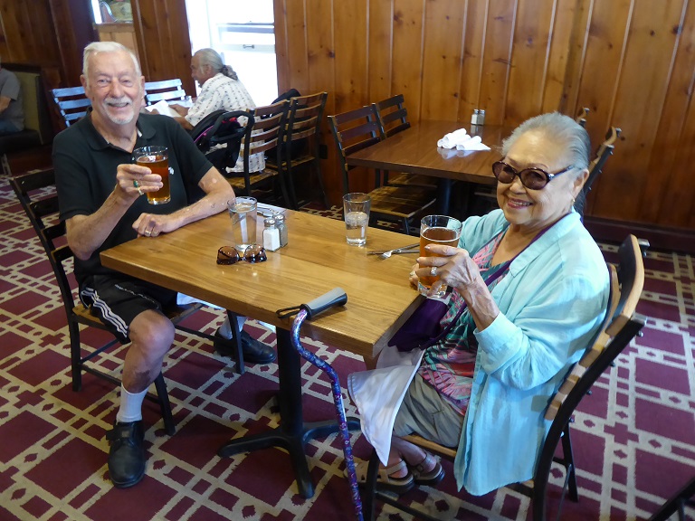
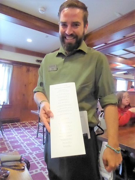
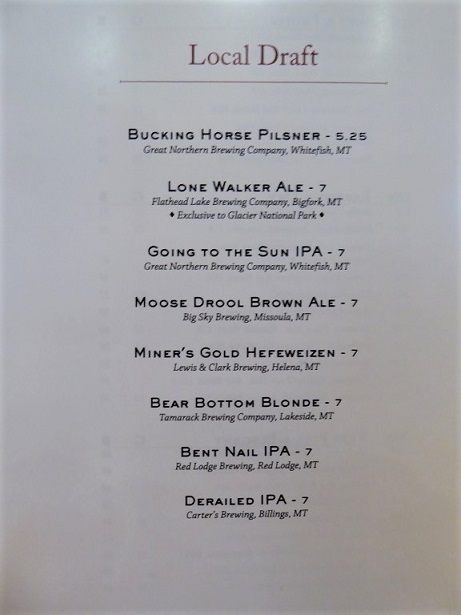
Our server was Dan the Man and he suggested we might like to try the Bear Bottom Blonde! Excuse us! He was extremely funnly and thought we were a delight with our sense of humor!
|
Glacier Park Lodge
|
Day 4 - July 11th - Glacier Park Lodge
|
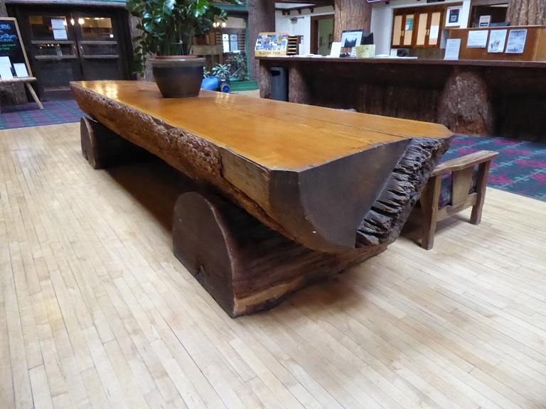
Glacier Park Lodge is located just outside the boundaries of Glacier National Park in the village of East Glacier Park, Montana, United States. The lodge was built in 1913 by the Glacier Park Company, a subsidiary of the Great Northern Railway. It was the first of a series of hotels built in and near Glacier National Park by the Great Northern to house visitors brought to the park by the railroad.
|
Blackfeet Festival
|
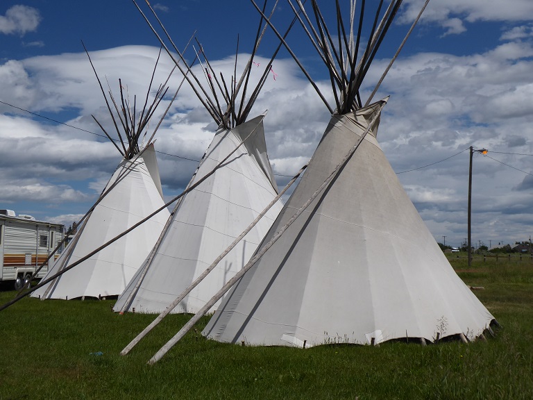
The festival didn't start until Seven P.M.
|
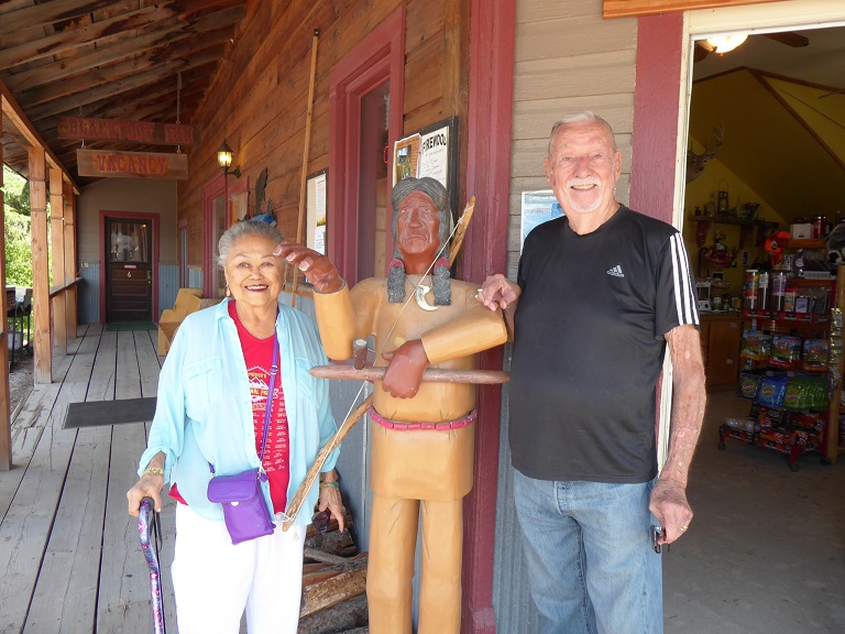
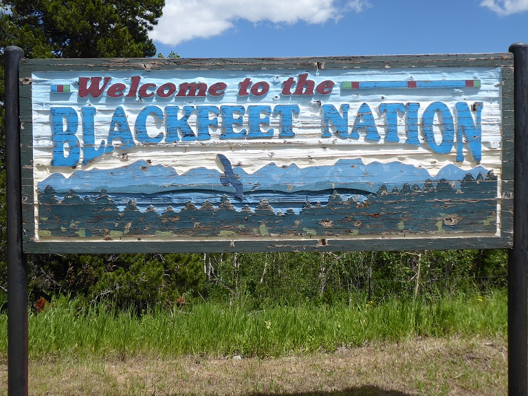
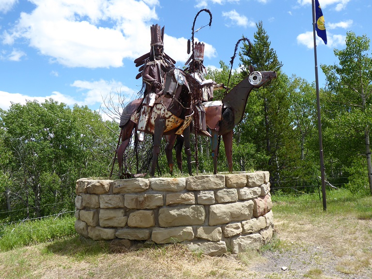
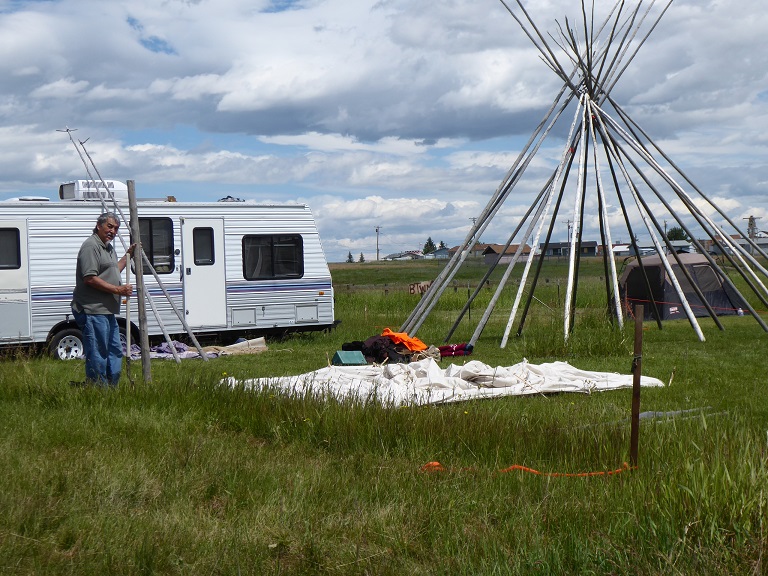
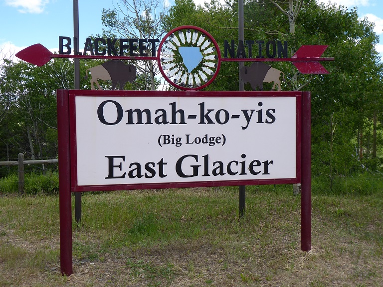
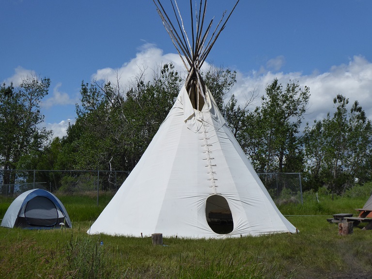
Virginia was very excited and kept telling me we had to go to the Blackfeet festival or else. I finally got excited and we got there around one p.m. and a woman said that there wasn't any show until at least seven p.m. Excuse us! We were not going to wait that long. Virginia wanted to take a photo of the statues we saw but I said they were not very interesting. I did stop and she looked at them and said I was right, not very interesting. So we drove over 100 miles and ended up not seeing the festival.
The Blackfeet Nation also known as the Blackfeet Tribe of the Blackfeet Indian Reservation is an Indian reservation and headquarters for the Siksikaitsitapi people in the United States. Located in Montana, its members are composed primarily of the Piegan Blackfeet (Ampskapi Piikani) band of the larger ethnic group historically described as the Blackfoot Confederacy. It is located east of Glacier National Park and borders the Canadian province of Alberta. Cut Bank Creek and Birch Creek form part of its eastern and southern borders. The reservation contains 3,000 square miles (7,800 km2), twice the size of the national park and larger than the state of Delaware. It is located in parts of Glacier and Pondera counties.
The reservation is also east of the Lewis and Clark National Forest in Montana, which contains the Badger-Two Medicine area, sacred to the Blackfeet people. This sacred part of the Rocky Mountain Front was excluded from Blackfeet lands in a Treaty of 1896 but they reserved access, hunting and fishing rights. Since the early 1980s, when the Bureau of Land Management approved drilling rights leases without consultation with the tribe, the Blackfeet have worked to protect this sacred area, where they practiced their traditional religious rituals.
|
|
|
|
|
|
|
Mountain Goats
|
Day 4 - July 11th - Mountain Goats
|
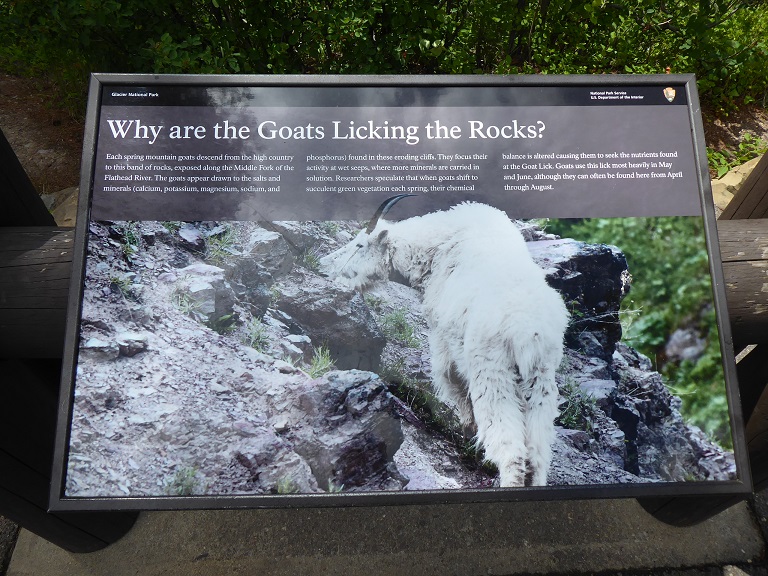
Like our pronghorn antelope, the mountain goat has no close relatives in the New World. While the pronghorn is home-grown in North America, the mountain goat arrived here at least 40,000 years ago leaving its nearest kin—the gorals, serows, and chamois—behind in Asia and Europe. Possibly the most extraordinary mountaineer to ever live, the goat is bound to steep, rugged terrain of Montana’s mountains. This alpine athlete is a photogenic favorite of photographers and wildlife watchers and a challenging game animal.
I was very lucky to get a photo of these two mountain goats as they are hard to fine or even see! This is a mother and baby mountain goat!
|
Conrad Mansion
|
Day 5 - July 12th - Conrad Mansion
|
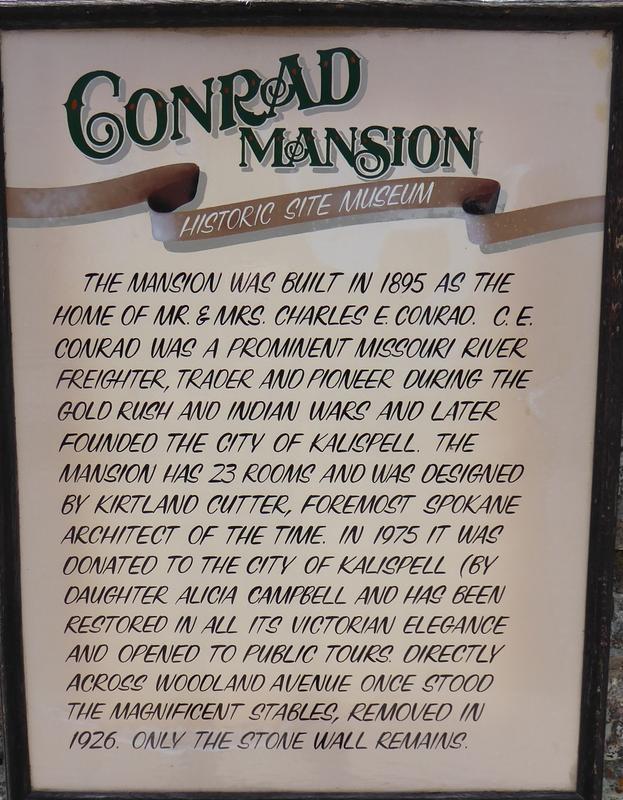
The Charles E. Conrad Mansion is a historical Victorian era shingle-style Norman mansion located in Kalispell, Montana. It was designed by the noted Spokane, Washington, architect Kirtland Cutter. It was the home of Charles E. Conrad, a late 19th century shipping magnate and early pioneer of Kalispell. In addition to shipping, over the course of his career Conrad was involved in a number of different businesses including real estate, banking, cattle ranching, and mining.
Unfortunately, no photos were allowed. The inside was all local woods with the latest electric appliances from the turn of the century, 1900! The tour was over an hour and a half and we were the only ones on the tour!
|
City of Kalispell
|
Day 6 - July 13th - Town of Kalispell
|
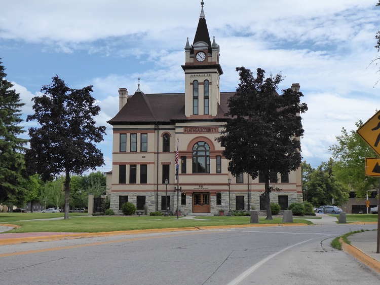
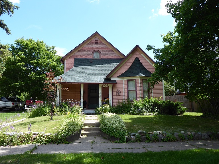
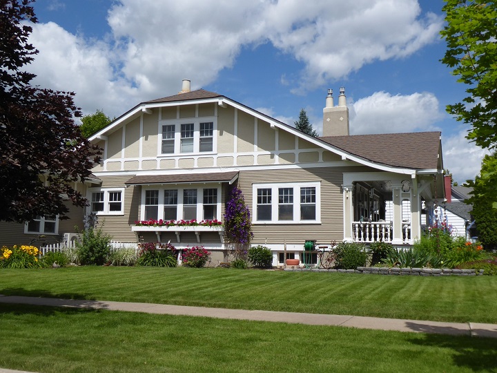
Kalispell is a city in northwest Montana. It’s a gateway to vast Glacier National Park, with its peaks, alpine trails and wildlife like grizzly bears. Downtown’s restored 1800s buildings include the Conrad Mansion, now a museum with period furnishings. Hockaday Museum of Art focuses on Montana artists. South of the city, Flathead Lake offers beaches and forested Wild Horse Island, home to horses and bighorn sheep.
|
Rain Storm
|
Day 6 - July 13th - Terrible Rain Storm
|
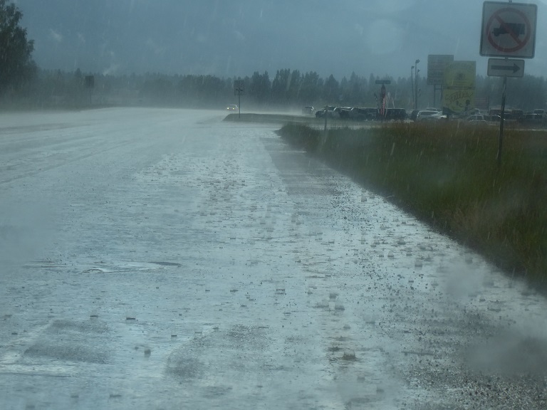
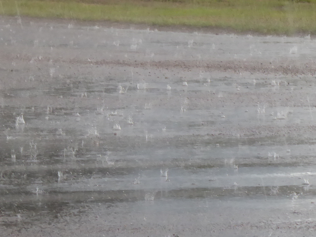
We left Kilaspell to drive to Old Mission. About an hour outside of the city the sun disapeared and suddenly there was the worst down pour I think I have ever seen! The windsheild wipers couldn't keep up with the rain and the pavement suddenly had about five inches of water on it. The rain drops were so big that when they hit the ground, the water splashed about six inches up in the air. I stopped the car on the side of the pavement. What was scary was the fact that some people went by at 70 miles an hour!
|
Old Mission
|
Day 6 - July 13th - Coeur d'Alene's Old Mission
|
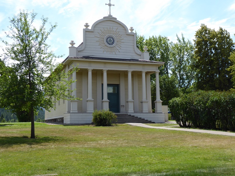
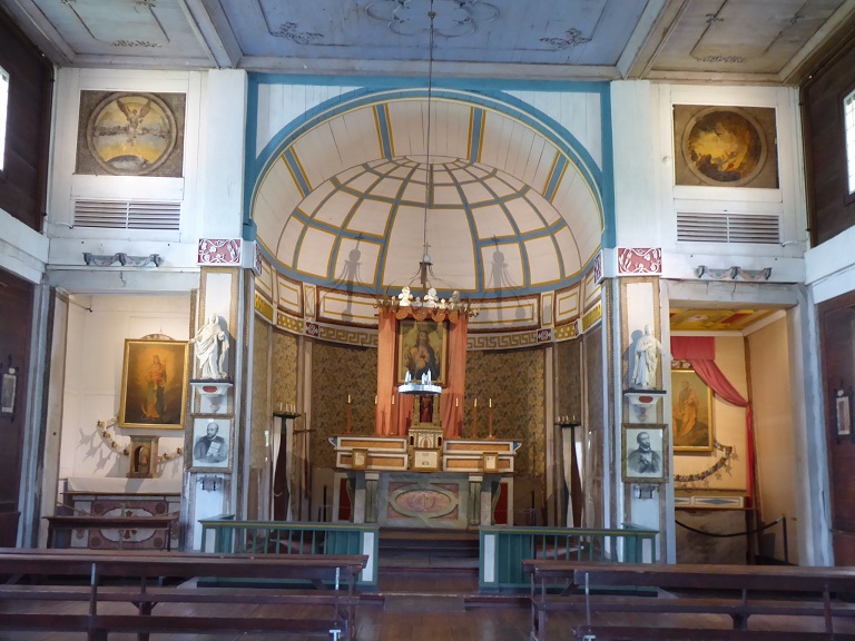
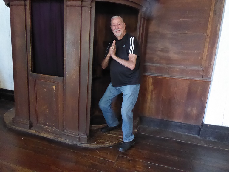
The Coeur d' Alene's Old Mission State Park spotlights the oldest building in Idaho. The Mission of the Sacred Heart was constructed between 1850 and 1853 by Catholic missionaries and members of the Coeur d' Alene Tribe.
|
Museum of Glass
|
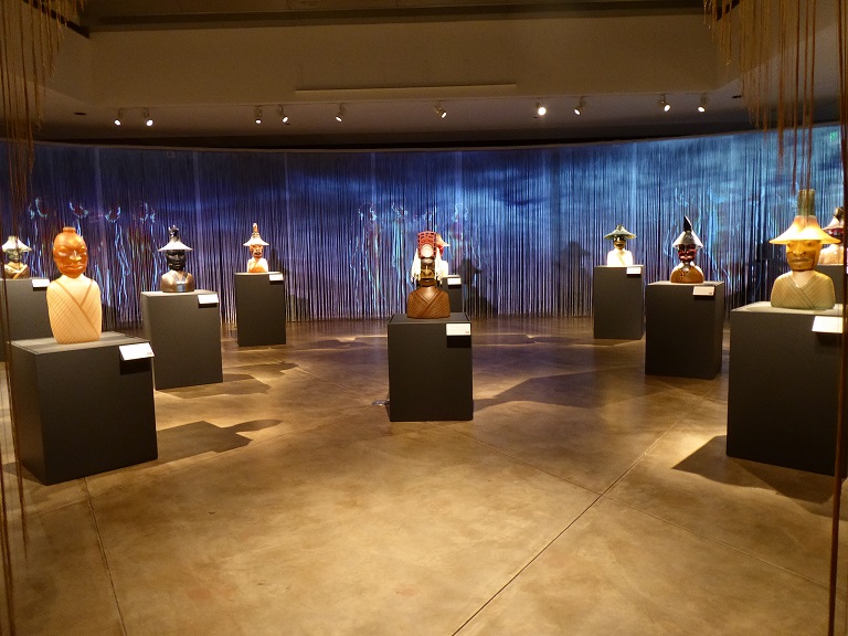
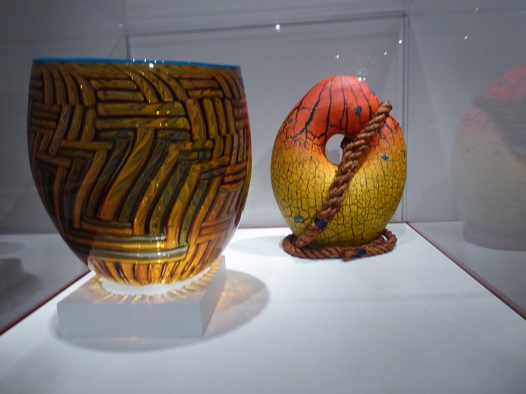
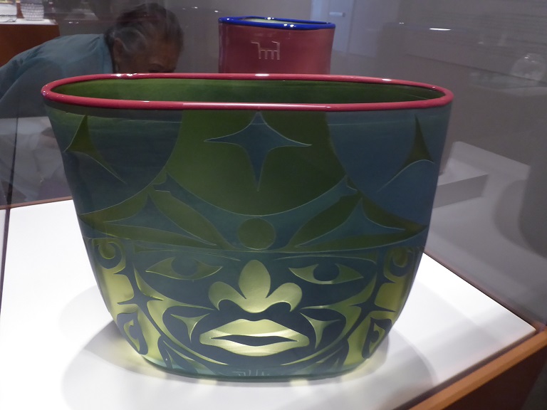
Day 7 - July 14th - Tacoma Museum of Glass - Chihuly and Indian Glass Exhibit
|
Located in Tacoma, Washington, we are a premier contemporary art museum dedicated to glass and glassmaking in the West Coast’s largest and most active museum glass studio. Now in our 16th year, we have established a reputation for hosting impactful and engaging artist residencies, organizing nationally traveling exhibitions in our galleries, and creating unique programs for our visitors, all while building a growing permanent collection chronicling the development of modern and contemporary glass.
Since opening in 2002, we have served as a catalyst for change for our city. Our iconic building was erected on a Superfund site which started the restoration of this beautiful waterway community. Today you will find a thriving arts and culture center, with six museums all within walking distance.
Each year over 100,000 visitors explore the Museum, sampling all that we offer. It’s rare to find a venue where you can watch live glassmaking, experience glass art from emerging artists as well as masters, and have the chance to try your hand at it. Museum of Glass prides itself on delivering all of these experiences, and it’s getting noticed. In 2017, USA Today listed Museum of Glass as a top ten tourist destination in Washington State.
|

|
|
|
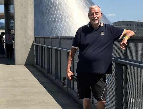
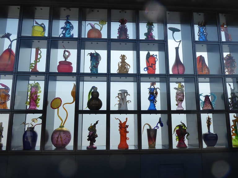
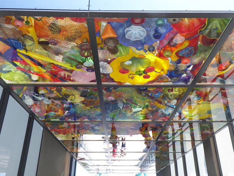
Much of the Chihuly works are located on a walk way over the road and railroad tracks and it goes to the train station. One wall is full of his vases. There are two towers of glass. And the famous ceiling of blown glass is at the other end.
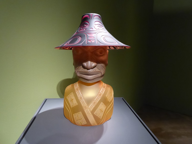
The above glass works are created by local Indian artists. You can tell by the forms they look very much like the Eskimo artwork of the west coast.
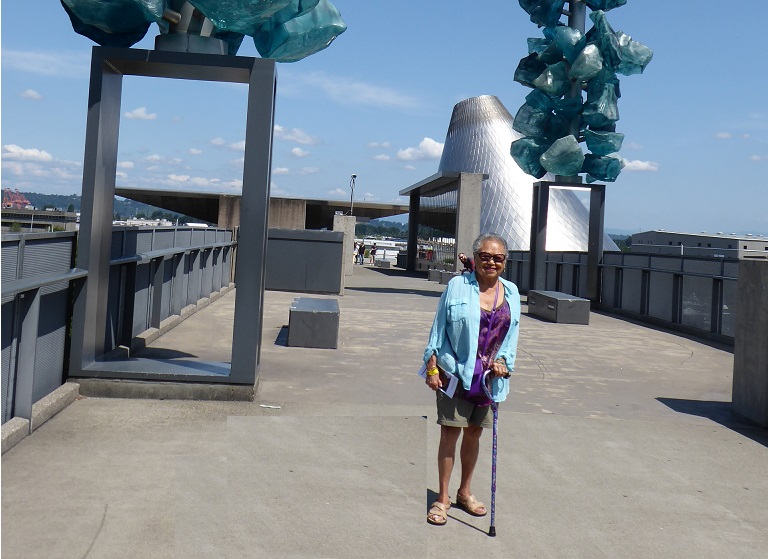
Virginia and huge Glass Towers
|
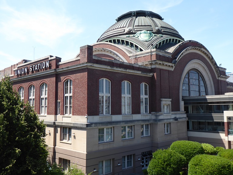
View of Union Station
|
|
Ho Soon Yi Tofu
|
Day 7 - July 14th - Special Tacoma Area of Korean Restaurants
|
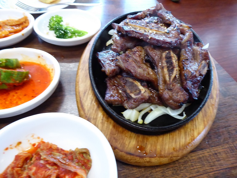
Many military men married Korean women and the women needed somehow, to fit into the American life style. A group of women started a club to give newly arrived and other women help with their needs and questions. An area was formed in the district of Lakewood in Tacoma and it became famous for the restaurants featuring the foods of Korea.
The Korean Women’s Association (KWA) of Washington is a registered 501 non-profit organization, recognized for its commitment to the community, ability to reach and provide services to marginalized groups and capacity to serve various segments and sectors of Washington state’s diverse population. Bringing Culture to the Forefront of Community
The Fish Pancake and the Short Ribs are a delight and I suggest you at least try these two items on the menu when visiting the restaurant. You know it is a good restaurant when almost all the clientel is Korean!
|
Crater Lake
|
Day 8 - July 15th - Crater Lake National Park and Overnight in Klamath Falls
|
Crater Lake National Park
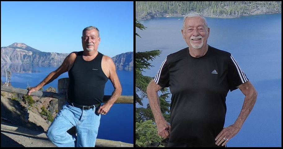
Crater Lake National Park is in the Cascade Mountains of southern Oregon. It’s known for its namesake Crater Lake, formed by the now-collapsed volcano, Mount Mazama. Wizard Island is a cinder cone near the western edge of the lake. The Rim Drive, a road surrounding the lake, offers views of the park’s volcanic formations. The park’s numerous trails include Sun Notch, with views of the Phantom Ship, a small island.
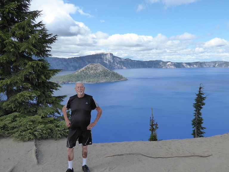
Chuck
|
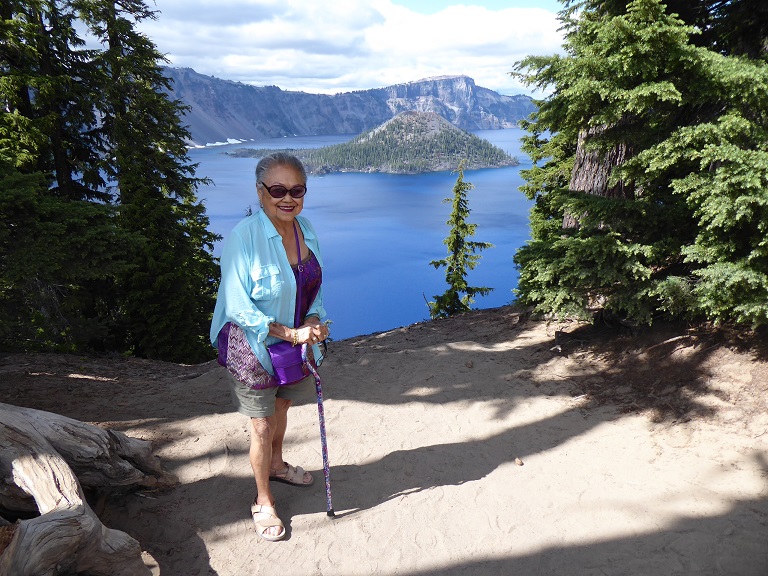
Virginia
|
Crater Lake National Park - 2007 and 2019 - 12 Years Later!
I was here on 2007, twelve year ago when I was traveling with my friend Barbara. I met Barbara in Turkey and she visited me in the City where we rented a car and we drove the west coast from San Francisco to Portland with lots of stops along the way!
|
Mt. Shasta
|
Day 9 - July 16th - Mount Shasta and Arriving Back Home in the City
|
Mount Shasta National Park
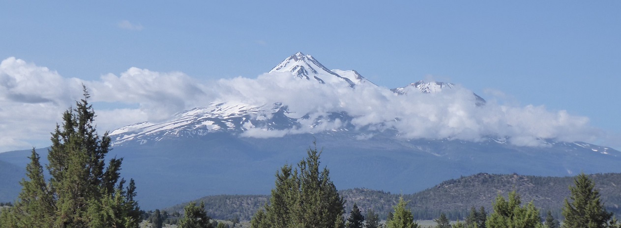
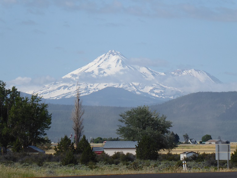
Mount Shasta (Karuk: Úytaahkoo or "White Mountain") is a potentially active volcano at the southern end of the Cascade Range in Siskiyou County, California. At an elevation of 14,179 feet (4321.8 m), it is the second-highest peak in the Cascades and the fifth-highest in the state. Mount Shasta has an estimated volume of 85 cubic miles (350 km3), which makes it the most voluminous stratovolcano in the Cascade Volcanic Arc. The mountain and surrounding area are part of the Shasta–Trinity National Forest.
|
San Francisco
|
Day 9 - July 16th - Arriving Back Home to San Francisco at 4:00 P.M.
|
San Francisco Skyline - Photo taken in Oakland
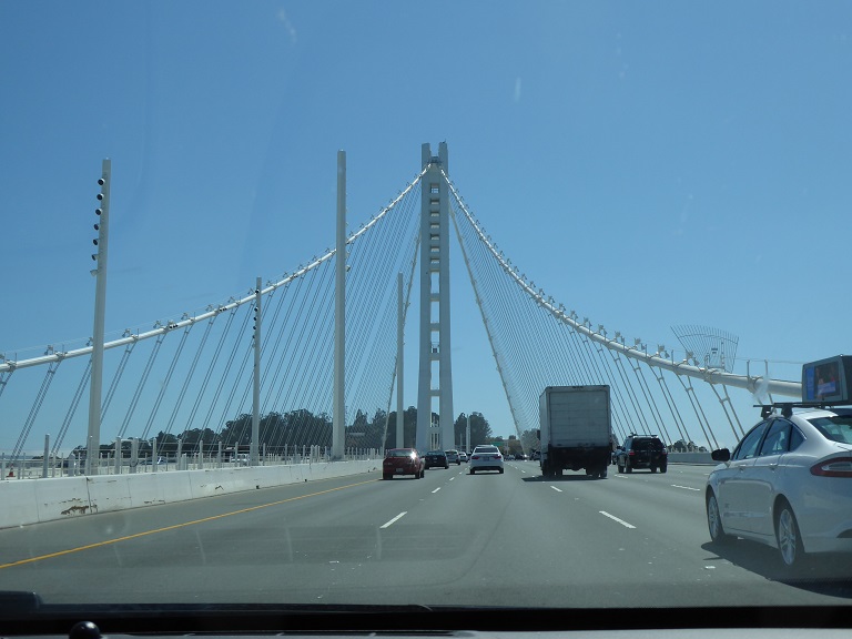
New East Bay Bridge Span
|

West End of the Bay Bridge
|
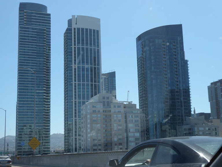
60 Story High Rise Apartments and Condos
|
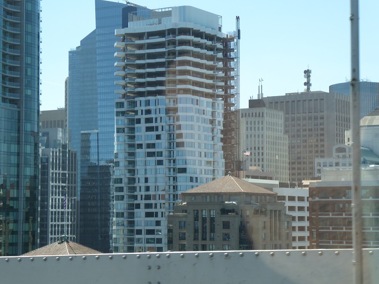
New Twisted Facade of High Rise!
|
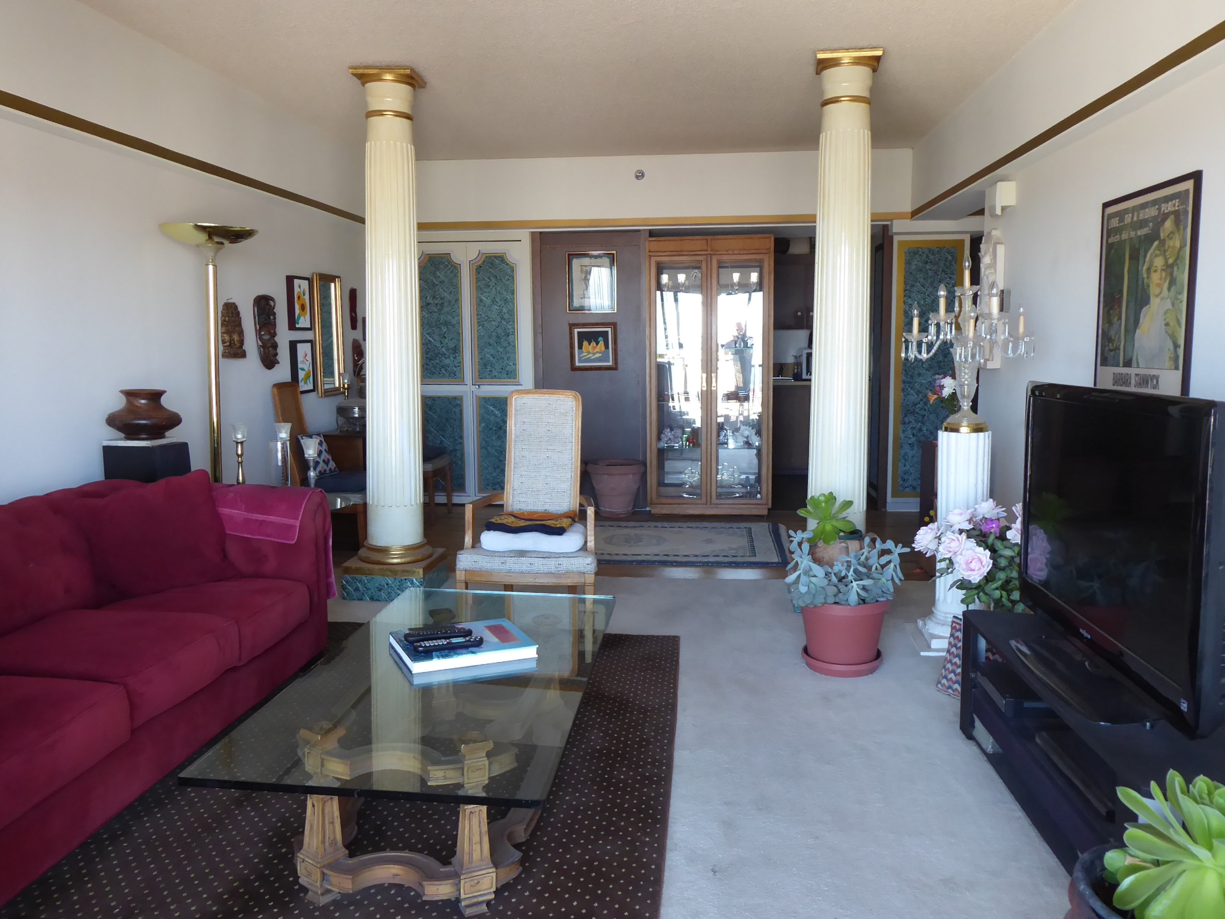
Villa Buntjer - 28th Floor!
|

View from Villa Buntjer!
|
|
Created on: 2019.06.02 |
|
 |
|
Updated on: 2019.07.19 |


 Montana is the 4th largest in area, the 8th least populous, and the 3rd least densely populated of the 50 U.S. states. The western half of Montana contains numerous mountain ranges. Smaller island ranges are found throughout the state. In all, 77 named ranges are part of the Rocky Mountains. The eastern half of Montana is characterized by western prairie terrain and badlands. Montana is bordered by Idaho to the west, Wyoming to the south, North Dakota and South Dakota to the east, and the Canadian provinces of British Columbia, Alberta, and Saskatchewan to the north.


