Map references: EuropeArea: total area: 131,940 sq km land area: 130,800 sq km comparative area: slightly smaller than Alabama
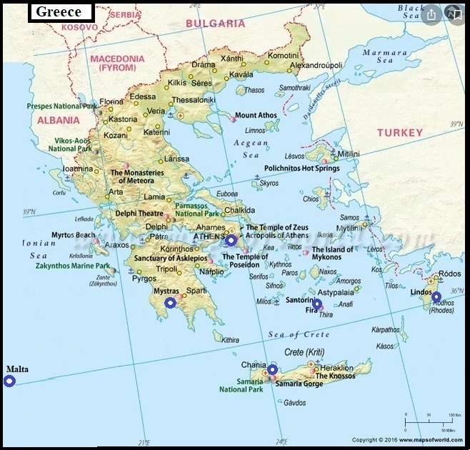
Land boundaries: total 1,210 km, Albania 282 km, Bulgaria 494 km, Turkey 206 km, FYROM 228 km
Coastline: 13,676 km
Maritime claims: continental shelf: 200-m depth or to the depth of exploitation territorial sea: 6 nm
International disputes: complex maritime, air, and territorial disputes with Turkey in Aegean Sea; Cyprus question; dispute with The Former Yugoslav Republic of Macedonia over name, symbols, and certain constitutional provisions; Greece is involved in a bilateral dispute with Albania over border demarcation, the treatment of Albania's ethnic Greek minority, and migrant Albanian workers in Greece
Climate: temperate; mild, wet winters; hot, dry summers
Terrain: mostly mountains with ranges extending into sea as peninsulas or chains of islands
Natural resources: bauxite, lignite, magnesite, petroleum, marble
Land use: arable land: 23% permanent crops: 8% meadows and pastures: 40% forest and woodland: 20% other: 9%
Irrigated land: 11,900 sq km (1989 est.)
Environment: current issues: air pollution; water pollution
natural hazards: severe earthquakes
international agreements: party to - Air Pollution, Antarctic Treaty, Biodiversity, Climate Change, Endangered Species, Environmental Modification, Hazardous Wastes, Marine Dumping, Nuclear Test Ban, Ozone Layer Protection, Ship Pollution, Tropical Timber 83, Wetlands; signed, but not ratified - Air Pollution-Nitrogen Oxides, Air Pollution-Sulphur 94, Air Pollution-Volatile Organic Compounds, Antarctic-Environmental Protocol, Desertification, Law of the Sea
Note: strategic location dominating the Aegean Sea and southern approach to Turkish Straits; a peninsular country, possessing an archipelago of about 2,000 islands